Study Area and Methodology
Field Data
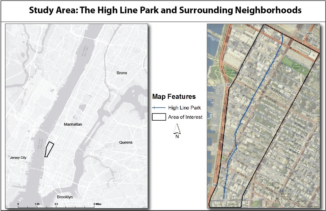
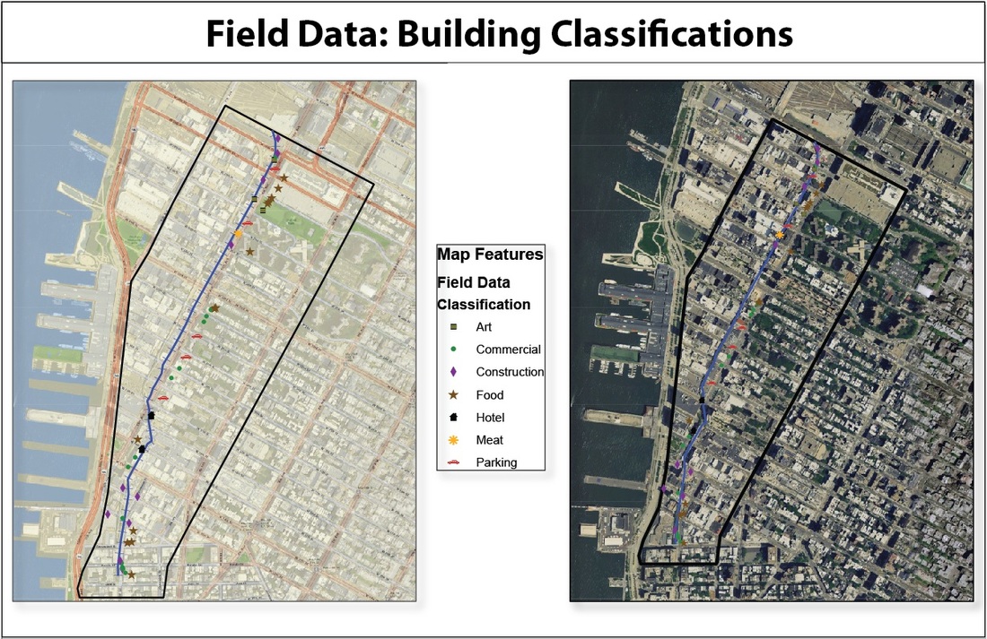
To understand the High Line as an impetus for urban renewal and to analyze the historical changes in zoning practices in these Chelsea neighborhoods, numerous field observations were made from both atop the structure and from areas below that are located within a one block radius of the park (see Study Area Map). From within this defined area of interest, GPS points were taken with a Garmin E-Trex to record building classifications, such as parking, dining and construction (see Field Data Map). Later, these field observations were compared with zoning maps provided by the New York City Planning webstie. Together, this information offers insights into this community's geographic zoning composition. Essentially, this research attempted to answer the following questions: How has land use changed over time, and how have these land use transformations affected local residents?
To understand the High Line as an impetus for urban renewal and to analyze the historical changes in zoning practices in these Chelsea neighborhoods, numerous field observations were made from both atop the structure and from areas below that are located within a one block radius of the park (see Study Area Map). From within this defined area of interest, GPS points were taken with a Garmin E-Trex to record building classifications, such as parking, dining and construction (see Field Data Map). Later, these field observations were compared with zoning maps provided by the New York City Planning webstie. Together, this information offers insights into this community's geographic zoning composition. Essentially, this research attempted to answer the following questions: How has land use changed over time, and how have these land use transformations affected local residents?
Cover photo by Laurel Hanson
